
CLARK FREEPORT, Pampanga — More than three decades after scientific studies helped save thousands of lives during the Mount Pinatubo eruption, a key figure behind those efforts has donated historic maps that will preserve an important chapter in Clark’s history and the Philippines’ disaster preparedness legacy.
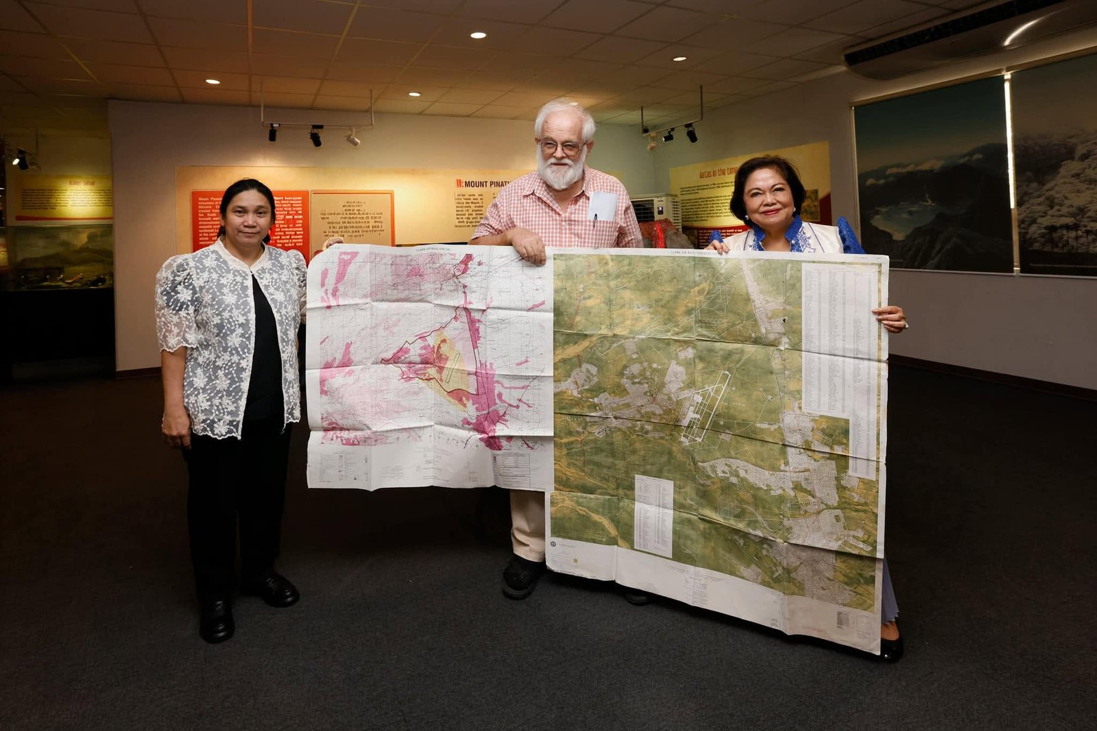
Retired U.S. Geological Survey (USGS) geologist Christopher “Chris” Newhall, one of the lead scientists involved in the landmark Pinatubo research and hazard assessment program, donated two historic Clark Air Base maps to the Clark Museum on June 9.
The turnover was received by Clark Development Corporation (CDC) President and CEO Atty. Agnes VST Devanadera and witnessed by Philippine Institute of Volcanology and Seismology (PHIVOLCS-DOST) Director Mylene Villegas during ceremonies commemorating the 35th anniversary of the 1991 Mount Pinatubo eruption.
The donation followed the unveiling of a commemorative marker honoring the scientific collaboration between PHIVOLCS and the USGS, widely regarded as one of the most successful volcanic disaster-response efforts in modern history.
Historical accounts cited during the event showed that studies conducted jointly by PHIVOLCS and USGS scientists before the eruption enabled authorities to issue timely warnings and implement large-scale evacuations, resulting in more than 250,000 people being moved out of danger zones and an estimated 20,000 lives saved.
Former President Gloria Macapagal Arroyo, who attended the commemoration, highlighted the significance of science-based decision-making in protecting communities during natural disasters.
The maps, which date back to 1989 and earlier, provide a snapshot of Clark before the devastating eruption that dramatically altered the landscape and accelerated the transformation of the former U.S. military facility into what is now one of the country’s leading economic and investment hubs.
For CDC, the addition of the maps to the Clark Museum collection represents more than the preservation of historical artifacts. It serves as a reminder of how scientific research, international cooperation, and informed public policy helped shape Clark’s recovery and eventual rebirth.
Museum officials said the maps will become part of the institution’s growing archive documenting Clark’s evolution—from a military base threatened by one of the century’s largest volcanic eruptions to a thriving center for business, tourism, and innovation.
The donation also reinforces the enduring legacy of the scientists whose work not only advanced volcanic research but also demonstrated the critical role of science in safeguarding lives and communities.