
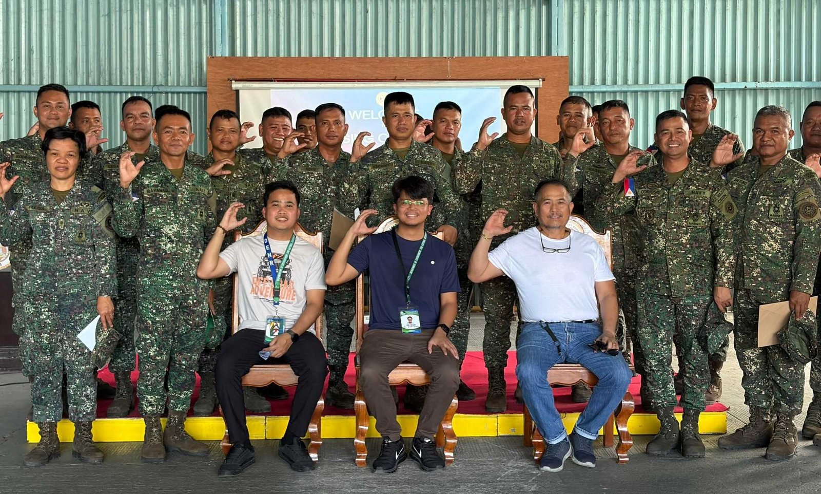
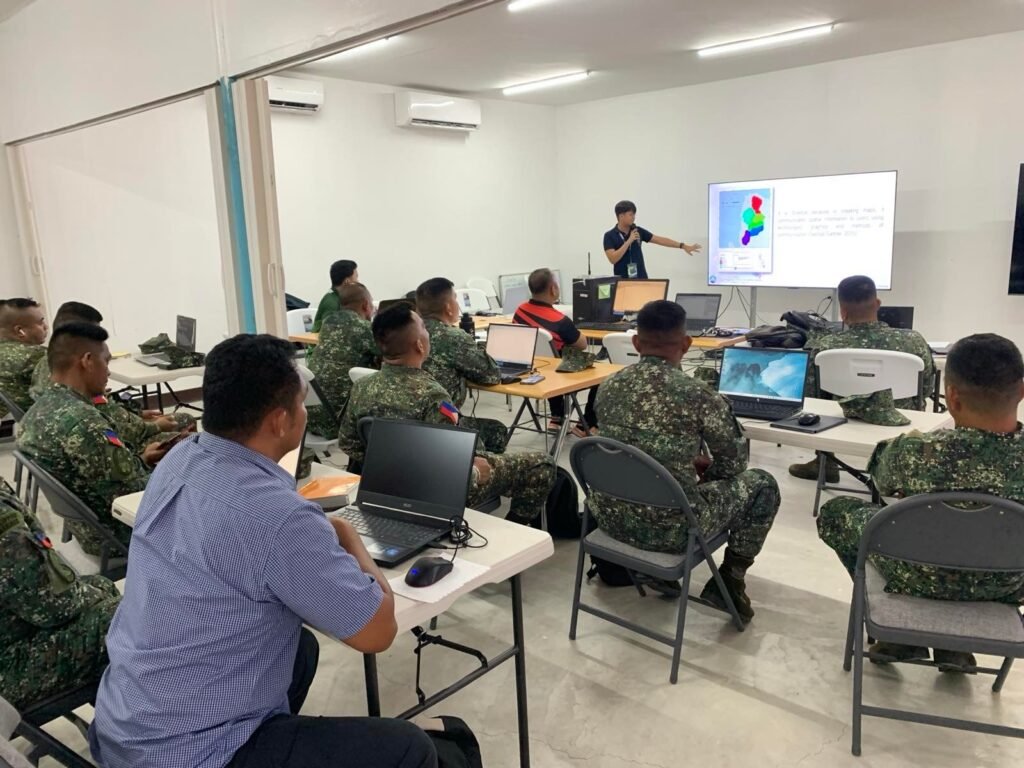
City of San Fernando, Pampanga – Department of Environment and Natural Resources has strengthened the technical capability of the Philippine Marine Corps by conducting a three-day Basic Geographic Information System (GIS) Training for personnel of the Combat Engineer Battalion at the Naval Operation Base Subic in Zambales.
The training was facilitated by the GIS Unit under the Surveys and Mapping Division of DENR as part of efforts to enhance the Marines’ operational readiness and improve the use of geospatial technologies in field operations, environmental management, and disaster preparedness.
According to DENR Regional Executive Director Ralph Pablo, the activity aims to promote the responsible and practical use of GIS technologies for data-driven decision-making.
“By sharing GIS knowledge with our partners, we help strengthen their capacity to make informed, data-driven decisions in the field,” Pablo said.
The DENR official added that the collaboration between the agency and the military sector also opens opportunities for continued technical assistance, data sharing, and future capacity-building initiatives that support both environmental stewardship and national security efforts.
The training covered key GIS applications including terrain analysis, route mapping, threat assessment, operational map preparation, and the use of remote sensing and Global Positioning System (GPS) technologies.